Enjoy the Destination

Todays blog is all about unique stays. Why you may need them, how to find them, and gems I’ve come across in my travels.

There are several factors that can hinder an adventure while traveling:

  • Being too introverted and/or shy to attempt something or going somewhere that seems “scary”. I myself am part of this group. I have gotten better as time goes on and I have increased my ability to deal with un-comfortability with my constant adventuring. However, I would be lying if I said I still do not drive by someplace I wanted to go after seeing a crowded parking lot, if I can’t find where to go, or if it just looks sketchy.
  • Time constraints. Sometimes there is an end destination that requires you to rush through. Whether you just need to get from point A to point B for a job, you are heading to a wedding or other family obligation, really any set time table that says you need to be HERE NOW.
  • Our current global pandemic. It is hard to pack up and say “I am just going to travel because I want an adventure.” You must be cautious about where you are coming from, where you are going, where you are stopping. Lots of big destinations are closed, lots of states/cities are constantly changing their COVID-19 prevention measures. Depending on who you live with/need to visit/work with you do not want to risk bringing anything home.

I have a solution to all of these, make your destination your adventure! I know, I know, it goes against the age old saying “life is a journey, not a destination”, but hear me out. If you do not have time to stop, if the big stuff is closed, if you do not want to be around a ton of people, what do you still have? Where you sleep. Especially currently, while travel is scary and often frowned upon, pick a place to sleep that is not your bed. It can do wonders for your mental health. You can vet the hotel, air bnb, camp site for their COVID-19 precautions. Read their description, comb through their reviews, and even reach out to the host before you go.

When I look for an adventure accommodation, I consider several factors:

  • Price, I am not willing to spend much more than I would at a motel 6 so I limit my searches to around $75.  Be cautious that some places (ahem, Airbnb) have a lot of added fees to double check what the all in price is before you fall in love. I’ve had places priced at $40/night end up being over $100 after taxes/cleaning fees etc.
  • Style, I try to get away from basic hotels, I will utilize search engines like Airbnb and Hip Camp that can get me more unique stays. A tip for Airbnb is that you can filter by accommodation style (tiny house, camp site, rv, hut, etc.) It is also not a bad idea to look up historical and/or locally owned hotels, they can provide a little more warmth than a generic one.
  • Activities, you don’t always need your accommodation to provide an activity but if it iss located on a farm (pet the animals, get fresh eggs), in a forest (hiking trails) or in a community (gardening), they often come with fun things to do on site!

If you need some examples keep reading. In the rest of this blog I am going to break down a few times in this past year I used this great option to keep my adventure quota high while running into the three hindering factors above.

Medford, Oregon

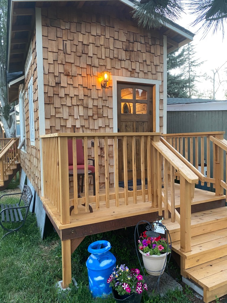
Too introverted. In my case this past spring I took a road trip without an exact plan. I figured I would just drive and stop when things looked cool, something I have done before and enjoy in normal circumstances. Unfortunately, I had been quarantined for so long that my anxiety in new places was on overdrive and I just kept driving. Luckily for me I had also planned on this being a possibility and I had booked an amazing tiny house that made it worth getting there early. As part of my trip I really wanted to get a lot of writing in so I had booked a place with a porch, beautiful sunsets/sunrises, and an adventure feel.

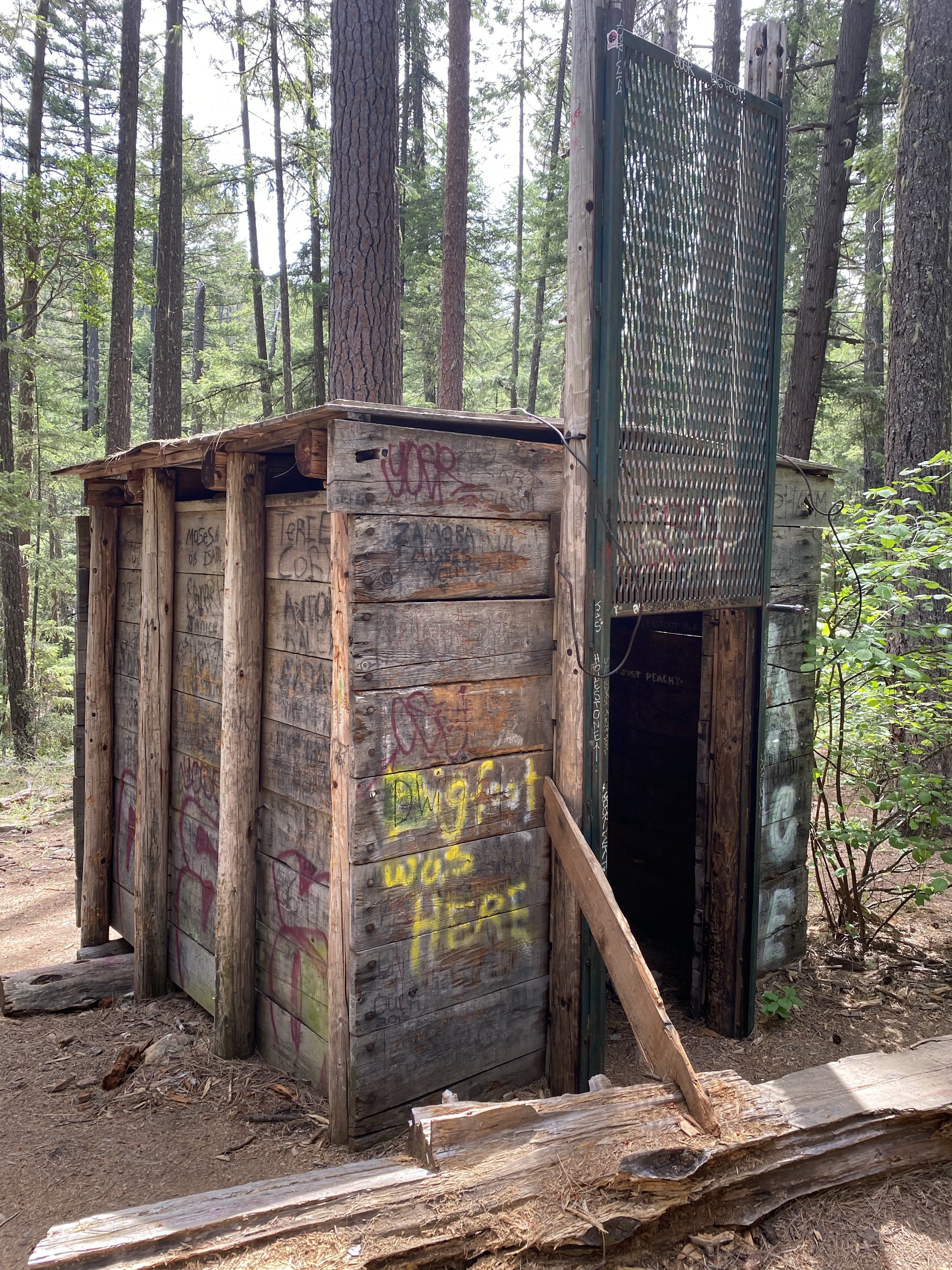
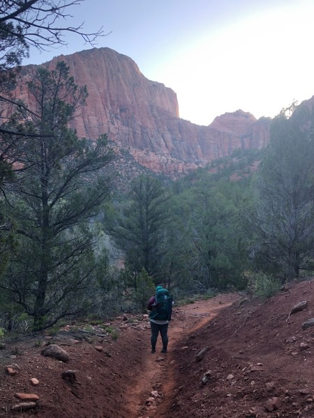
  • Not enough time. This year I also took a long road trip to Kentucky to visit with an old friend. I knew between my finances and homesickness my timeframe had to be right around two weeks.  This meant after deducting my three day visit in KY, I would need to be driving between 7-10 hours every day to fit my trip into my time frame. Driving that much a day (especially during the first half of my trip where I was solo) meant that I would not be making a lot of meaningful stops. I of course fit in some silly and quick roadside attractions but my main way to balance the driving with adventure was my sleeping arrangements. With my 8 nights sleeping out on the road I utilized 5 campsites, 2 nights in unique accommodations, and 2 nights in a hotel. The two hotel nights and 1 of the camping sites I would compare to a motel 6 style of accommodations. Just used to rest your head and/or grab a shower. The other stays were planned specifically for their adventure feel. I will only highlight a few here (feel free to check out my Instagram where I go into more depth on some of these).:

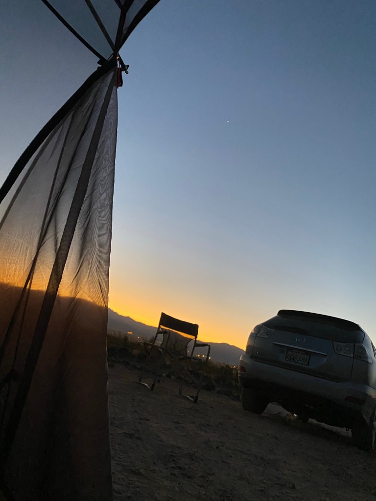
Golden Valley, Arizona

My first night camping in a tent by myself. Private campsite (Airbnb) out in the middle of nowhere, with a soundtrack of wild burros throughout the night. This location also offered a really cool hike but unfortunately I did not have time to explore it.

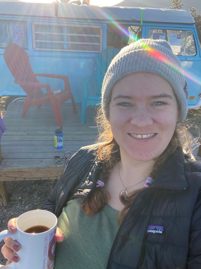
Cerrillos, New Mexico

Shanti Community (hipcamp), where I got to sleep in an old VW van. A scary (but worth it) 20-minute drive off the highway and down a dirt road brings you to this village on the edge of a canyon. This place is constructed  of a ton of amazing old buses/vehicles that are outfitted for sleeping. This unique stay had a community kitchen where I made a quick cup of coffee in the morning to enjoy the sunrise before packing up and hitting the road.  

Kanab, UT

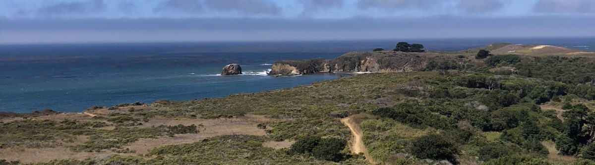
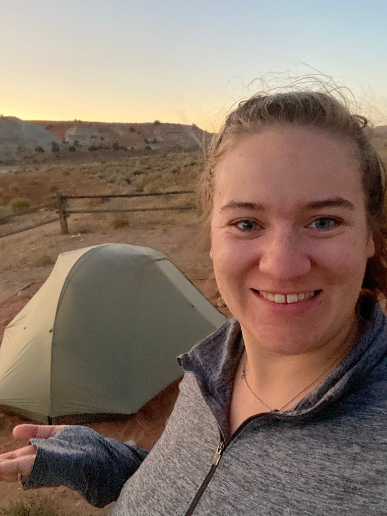
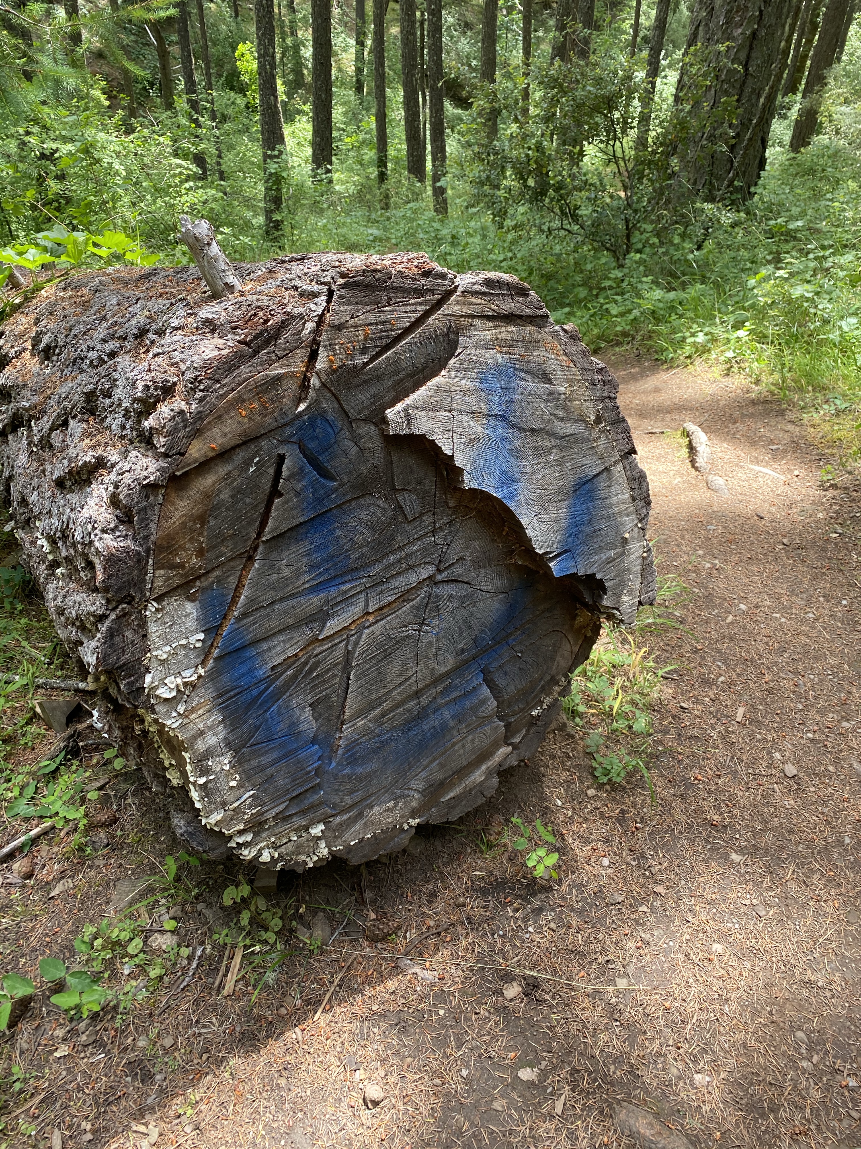
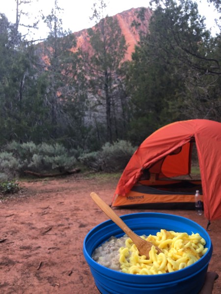
White Horse Campground in Escalante National Monument. This cheap ($5) BLM established campground gives you a great basecamp for some epic hiking as well as just a breathtaking place to set up your tent. Only two miles off the highway and down a dirt road.

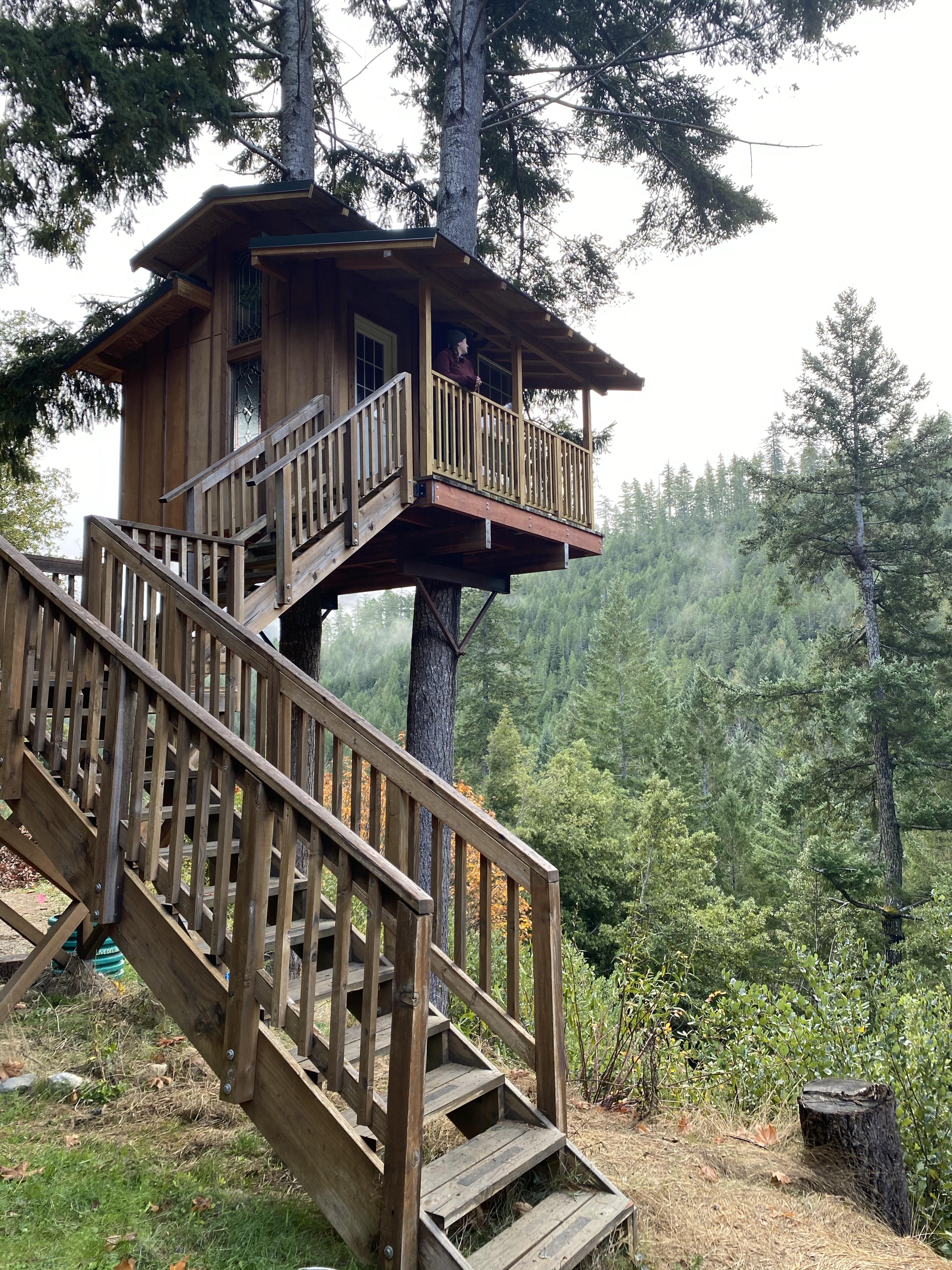
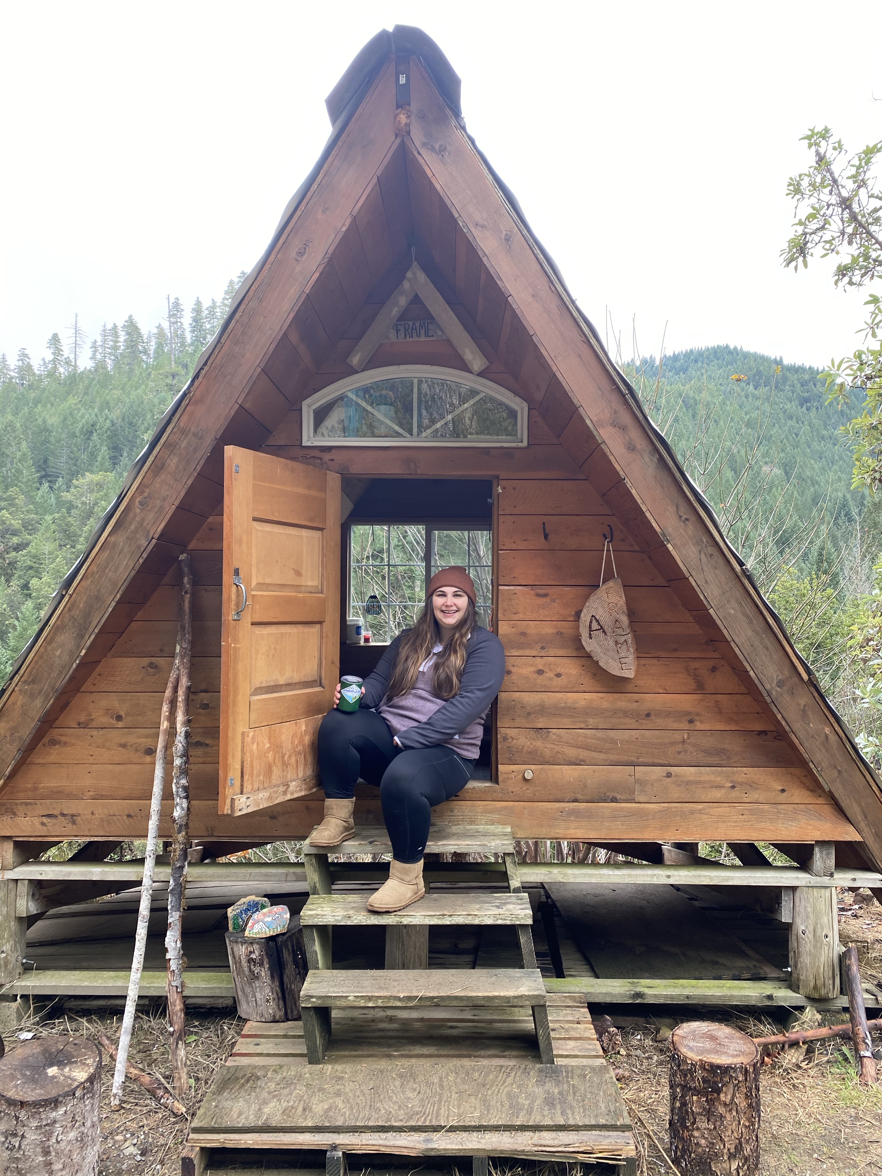
  • Pandemic precautions. A bit ago I was feeling extremely closed in with all of the shelter in place and stay at home orders, which is bad for my mental health. I found an off-grid option within a day of travel and planned this epic adventure. This unique place offered a variety of accommodations and I booked two of them to create a weekend of secluded bliss. I enjoyed a beautiful drive up the coast, stocked up on groceries, and with the company of one of the greatest humans ventured into the woods. This place is a blog post by itself, so I will not go into a ton of detail, but Blake and I were able to sleep in both this cute A-Frame and this spectacular Tree House. Check that off the bucket list for me!

Whether you are staying local or getting away, Happy Roaming!

Disclaimer: I also am not sponsored or receiving payment from any of these places, I just found them to be enjoyable and wanted to share the love! Below find the links to all the places I listed above:

Off Grid Village – AFrame and Tree House (plus other awesome structures like the hobbit hole, witches hut, half moon etc.)
Shanti Community – Old VW bus (plus other awesome old vehicles to sleep in!)
Campsite in Golden Valley Arizona

White House Campground | Bureau of Land Management (blm.gov)

White House Campground in Utah, BLM established campground

Tiny House near Medford, OR

Big Foot Trap

Location: Big Foot Trap (Collings Mtn. Trail), Rogue River-Siskiyou National Forest

Difficulty: Easy

Distance: < 3/4s of a mile. If you can get a spot at the trailhead it is only about half a mile. Otherwise park at the Hart-tish Park parking lot and it will be ¾ of a mile. (see parking).

Elevation: 300 feet.

Cost: $5 for day use at Hart-tish Park parking lot. I got away with parking at the trail head for free but I would recommend bringing the cash.

Parking: There are roughly two spots on the side of the road for this trailhead. Otherwise parking is available across the road at Hart-tish Park (see cost for fees).

Directions: I-5 exit 30. Hwy 62 turns into Hwy 238 and follow 13.5 miles. At the town of turn left onto Applegate Rd. At 15.5 miles you can turn left into Hart-tish Park or the trailhead will be a few more feet up on the right hand side.

Preparation:

  • Sunscreen. It is pretty covered with tree’s, but sunscreen is always a good idea.
  • Water. No water at trailhead. May be some available at the park but I didn’t use it. Always better to come over prepared than under.  
  • Bathroom. There is a rest stop with a pit toilet roughly half a mile before the trailhead or one available if you pay to park at Hart-tish day use area.  

Experience:

The trail is pretty much off by itself in the forest. There is a good trail head sign visible from the road (see picture above) that has a foot print telling you that you are in the right place. You start by cresting a tiny flat mound between the road and the trail, then it quickly shifts downhill hiding you immediately from the view of the road. After only a hundred feet or so the trail splits between hiker and horse access. You will cross through a wooden barricade and start a semi steep descent. Less than five minutes into the trail you cross an incredibly unique footbridge that crosses a creek. When I went (early summer) there was no water, but I would assume in the wetter seasons this footbridge would be helpful to keep you dry.  Shortly after at about a quarter mile there is a wooden bridge.

On my first pass to park at the trailhead there were forestry services parked and I assume doing trail maintenance. The trail was extremely clear the whole time. I am also assuming/hoping the several arrows hand drawn into the dirt were communication between a trail maintenance crew. Otherwise it was extremely eerie to be down this trail by yourself not knowing when the last person hiked through, following crude arrows in the dirt…

I did follow them, however, and was rewarded with my prize. Towards the last bit of trail, it forked into what felt like two very defined trails. I almost went down the wrong one when I noticed the arrow in the ground pointing to the very left trail option. I followed it and was rewarded with a creepy smiley spray painted on a cut tree that passed over the trail. In retrospect it is not creepy but when you are alone, surrounded by forest, walking towards a big foot trap; Everything seems creepy. Later I saw that the right fork of the trail is a short jaunt to a demolished/decayed minor’s cabin. I will have to explore next time!

Up the hill on the left fork is the trap!  In a nice open space with a giant steel gate is the big foot trap. Thankfully, bigfoot was not there when I got to the clearing. It has been spray painted throughout the years and was remarkably still very sturdy. Although it would be no match for Big foot!

Big Foot History:

The Big Foot trap was first created in 1974 by the North American Wildlife Research Team. Which is no longer an organization. They tried for 6 years to trap Big Foot, baiting the trap with carcasses but all they ever caught was beers. The structure is 10 by 10 feet and made with 2×12 planks, combined with heavy metal straps, and fastened to the ground by telephone poles. In 1980 the door the was bolted open for good. It is now a tourist attraction and maintained by the United States Forest Service.

Full Trail Specs:

The Big Foot Trap is part of the Collings Mtn Trail

The trail continues past the trap and increases elevation rapidly up to the ridgeline before taking you along the western edge of Collings Mountain. It will drop you into Watkins campground. If want to do the whole thing find the additional info below!

Difficulty: Moderate/Hard

Distance: 7 miles one way.

Elevation: 1000 feet.

Extra Trail:

There is an easy flat half mile (one way) trail between the Hart-tish day use parking lot and a rest stop up the road. It runs along the side of the lake and provides great views for little effort. If you get to the rest stop there is also a short walkway that takes you out into the lake and gives a nice view of the dam.

Until next time, Happy Roaming!

Zion National Park

Park Talk: Zion National Park

img_3635

I had the pleasure of having a best friend trip, with my ride or die Blake, to this beautiful park last May. Maybe eight months before we went we decide to point to a national park on the map go there. The only thing we planned was that it had a trail we could backpack…and that’s about it. We didn’t know anything else. Zion wasn’t on our bucket list per se, but it quickly became one of our favorite places in the whole world. Our trip was really broken up into 2.5 pieces as far as the park was concerned. Kolab Canyon, the main drag of Zion (where we did two smaller hikes), and Springdale. I am going to include all parts here in a single blog so if you don’t care about a section they’ll be clearly labeled, and you are more than welcome to scroll through. Scroll all the way down if you want a fun and real video of our experiences!

First stop

Kolab Canyon – Overnight Backpacking Trip 

Location: Kolab Canyon (La Verkin Creek Trail)

Difficulty: Moderate

Distance: Lee Pass to Kolob Arch 7 miles (one way)

Elevation change: 950 feet

Cost for backpacking permit: $5 nonrefundable for reservation. $15 for 1-2 people per site/night $20 for 3-7 people per site/night.

* For costs to enter the park please see the general Zion National Park information.

Parking: Parking is limited at the top. I would recommend getting there early if you are just going for the day. We got in late afternoon which also worked out as we were camping and only going a couple miles, we were able to snag a space from a day hiker.

Directions: Make sure if you are looking to go this side of Zion that you put in the right address to your GPS (or if you are without a GPS) you just need to make sure you are heading north on interstate 15 (exit 40) and follow the signs. This is a separate entrance from the main entrance.

Preparation: For a day hike may sure you have water and sunscreen. For a backpacking trip you will need all the essentials. There are two water sources on this trail so you can hike with less water and bring a filter. Stop in to the Kolob Canyons Visitor Center at the bottom and they can advise of current water availability. When we went the creeks were FLOWING. We really didn’t need to bring as much water as we did.img_3668

The Hike: After a late afternoon start into the Canyon we set up camp at campsite two. Which is roughly 2.5 into the park form the Lee Pass trail head. Our goal for the next morning was to make it the additional 4.5 miles to the Arch and then the 7 miles back out to the car. However, as our first real backpacking trip (and my first time camping EVER) we severely underestimated the toll on our bodies of traveling the day before, immediately hiking into the wilderness, camping, and continuing on the next morning as if nothing had changed. We both felt like crap the next morning. We went maybe another half mile to a mile into the trail and made the decision to turn around. We would have loved to see the arch but our main goal was try out our backpacking gear and decide if we loved it, the arch was just a bonus. SPOILER: WE LOVED IT. We decided it wasn’t the smartest decision to continue forward not feeling well and then still need to hike 7 miles (up the 950 feet) to get back to the car, so we turned around. We still hit 10,000 steps before we got the car and we judged that a win.  Upon consideration afterwards we could have left our packs at the campsite to try hiking to the arch with less weight but as newbies to the backpacking lifestyle I think both of us felt weird leaving our homes and all our belongings behind.

Highlights of the hike. 1) The breathtaking views as you descend into the Canyon. As a gal who had never experienced this part of the country before I could not keep myself from calling it gorgeous, oh, about 100 times per minute. 2) The feeling of wilderness. As a sidestep out of the main portion of the park and really made for people who are planning on doing a serious hike there was barely anyone there. The feeling of being by yourself in this beauty is overwhelming. 3) The hike itself crossed a few different terrains. There are dessert sections, several creek crossings, a plateau of trees. It has a little bit of everything!

img_3671


Second stop…

Location: Zion National Park

Difficulty: All Levels

Distance: There are several different hikes throughout the park. For a full list I’d recommend visiting their website. Blake and I were able to go on a couple and as those will be the ones I talk about those are the only ones I’m going to list here.

Cost to enter the park: $35 for a private vehicle, $20 per person, Annual pass for Zion $70, Interagency Annual Pass (all National Parks) $80. The Private vehicle and per person tickets are good for 7 consecutive days.

Parking: There is limited parking at the park but the whole town of Sprinimg_3740
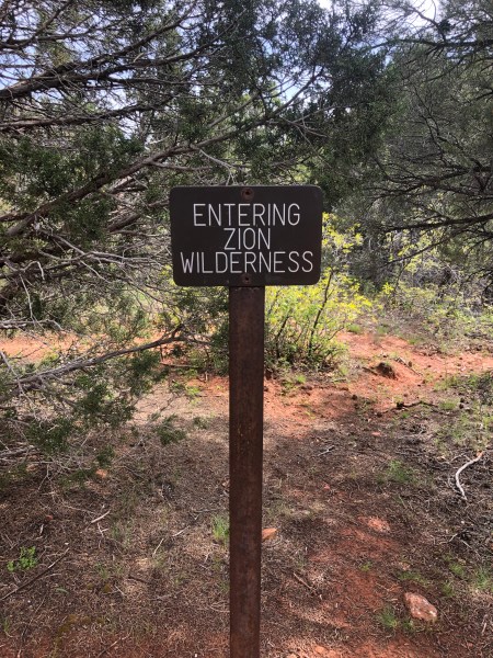
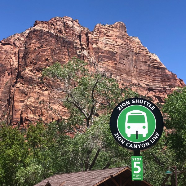
gfield is set up to help the flow of people to the park. There is a free shuttle service throughout the town that drops you directly to the park entrance. Just head to your nearest shuttle stop! Once you are inside the park there is another free shuttle system that will take you to 9 different stops, just leave enough time to catch the shuttle back down from the park.

Directions: The two closest international airports are Las Vegas, Nevada (170 miles) and Salt Lake City, UT (300 miles). We flew into Vegas. Keep in mind there is an hour time change between here and Zion, with Zion being an hour later.

Preparation: Everything you might need for a day long excursion!

  • Snacks (careful the squirrels here are fearless!)
  • Sunscreen,
  • Camera
  • Water bottle: there are plenty of water fill up stations throughout the park but make sure you start with some water and have a good refillable water bottle.
  • Hiking shoes: No matter what you decide to do at the park there will be a lot of walking.


The Hikes:

Lower Emerald Pool Trail

Shuttle stop: 5

Distance: 1.2 miles round trip (out and back)

Elevation:img_3723 69 feet

Estimated Hiking time: 1 hour

This is a paved trail that leads to a beautiful waterfall. The path leads you behind the falls for a spectacular behind the scenes view. There are a few places where the water from the falls can get on the trail so be prepared for a few slippery spots.


Riverside Walk

Shuttle stop: 9 img_3706

Distance: 2.2 miles round trip (out and back)

Elevation: 57 feet

Estimated hiking time: 1.5 hours

This is a paved path that follows the Virgin River. It is a beautiful winding path that shows you a great view from the bottom of a canyon. You need to travel this trail to get to the mouth of the narrows and during times when the Narrows are open you can walk to the mouth of this famous trail for a quick view even if you aren’t going to attempt it. Unfortunately, when we went the river was overflowing with snow melt and the Narrows was closed.

The Town:

Springdale was such a cute and easy town to travel around. Very much catering to the tourist flow from Zion park the free shuttle service runs throughout the town not just to the park. There were a bunch of delicious eateries and a great little grocery in the center. We found a great hotel that was not too much for our budget that provided great views from the deck and hot tub!

1d88a3f1-c33d-4fef-a463-bbad5f7264b2

Overall:

Blake and I both agreed this entire park and everything around it was heaven. Even a year later we talk about how relaxed we were while we were in Zion. As a park it was extremely well organized that even when it was busy you never felt img_3782
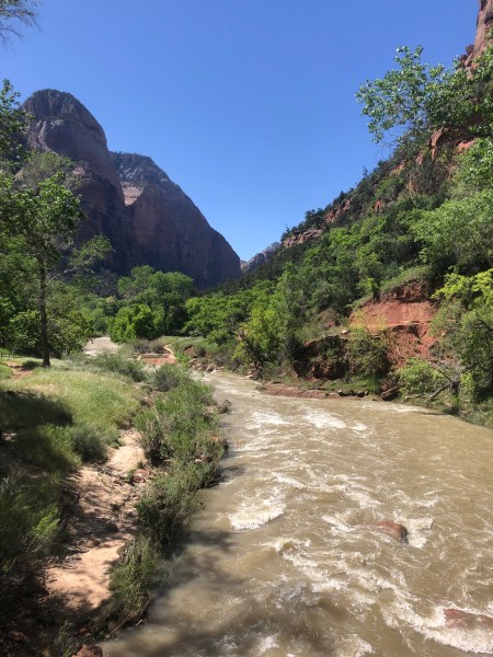
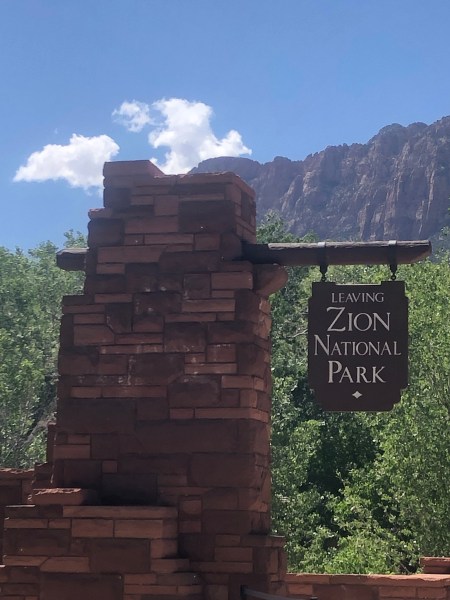
overwhelmed with people. The shuttle system really made the difference because it took the stress out of trying to get good parking at all the “good” spots. We really were at ease exploring whatever we wanted. Although we both would have enjoyed some of the more challenging hikes Zion had to offer, we both agreed we were there to adventure and explore and have a great best friend’s trip. We were not there to murder our bodies on hikes we were not quite physically ready for, or even we were, we did not want to wear ourselves out and not be able to enjoy everything else. 10/10 we would highly recommend this park and adventure to everyone, there is a little something for all levels and ages and is truly a joy to explore and pleasure to experience.

Video!